Editor’s note: The FAA predicts that 2.7 million drones will be used commercially by 2020, with 19 percent of those used in agriculture. Watch for an article on drone use from Dr. James Robbins in the March issue of Nursery Management.
For more from Dr. Robbins, attend his webinar: “I have a drone, now what?” It takes place March 15, 11 a.m. to noon CDT. Robbins (University of Arkansas-Cooperative Extension Service) has been involved with ‘drones’ since 2010. He has held a ‘Certificate of Authorization’ and more recently ‘Remote Pilot Certification.’ His sUAS research is focused on plant count and monitoring for plant stress. The release of the permanent flight regulations (‘Part 107’) for commercial users of small unmanned aircraft comes a great deal of uncertainty about the process to fly legally. This webinar will walk participants through ‘aircraft registration’ and ‘Remote Pilot Certification.’ An emphasis will be placed on resources to help participants prepare for, and take, the exam. Register here.
For west coast growers, the upcoming ASCEND Conference & Expo will deliver practical information about using drones to improve processes in precision agriculture. ASCEND will be held at the Oregon Convention Center in Portland, Ore., July 19-21.
“ASCEND will go beyond celebrating drone technology to provide practical integration of techniques into current practices,” said Tim Kidwell, Editor-in-Chief of Drone360 magazine and leading member of the ASCEND Conference & Expo team. “We won’t just talk about the evolution of the technology; ASCEND will help attendees turn concepts into action plans.” ASCEND Conference & Expo will convene experienced, successful UAS pros to deliver hands-on workshops, insights into successes, case studies and best practices, and other programming that will drill down to the fundamentals needed to achieve success.
ASCEND will offer a combination of interactive panel discussions, classes, workshops, workflow sessions, mentor meetings, and interviews. A sample of topics includes:
- Thermal sensors and agriculture analysis for crop monitoring and management
- Data collection issues in precision agriculture
- Yield, maturity and quality estimates: the benefits of drone usage in precision agriculture
- Key benefits of UAS in agriculture: tools for efficiency, rules for success (crop and herd monitoring, variable-rate fertility, equipment inspection, irrigation control, pest management)
- Beyond sensing to application on the farm
- One chance for harvest – technology to help you maximize yields and profits
- SOP for precision agriculture: getting started series
Sessions will help attendees do one or more of the following:
- Start a business or incorporate drones into an existing business
- Learn best practices through case studies and practical examples
- Understand policy and comply with FAA, state, and local regulations
- Find resources and management tools
- Provide commercial application workflows
- Minimize financial and legal risk
- Manage data acquisition, processing and use
- Develop operations processes
Additionally, the ASCEND marketplace will encompass all aspects of UAS including service providers, commercial applications, platforms, software, research, technology, training, components, advocacy, education, government agencies, trade associations and retailers.
For more information, visit Ascend-Event.com.
There are also several drone use workshops taking place in Michigan, sponsored by the Institute of Agricultural Technology and Department of Geography, Environment and Spatial Sciences at MSU and presented by RS&GIS and Northwestern Michigan College Aviation Division.
This unique 3-day course, taught by experts in the fields of Aviation and GIS, teaches participants how to fly drones and collect data within existing regulations, and then turn data into a usable product. Participants will leave the course with a clear understanding of the Drone-to-GIS workflow, including becoming a Remote Pilot-in-Command*, planning and completing missions and analyzing the resultant data. Registration is limited to 10 participants per class to maximize instructor-participant contact.
The workshops take place April 25–27 at Michigan State University, May 1–3 at Northwest Michigan College, June 12–14 at Michigan State University, August 29–31 at Michigan State University, and September 18–20 at Northwest Michigan College.
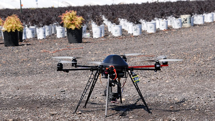
Photo: James Robbins